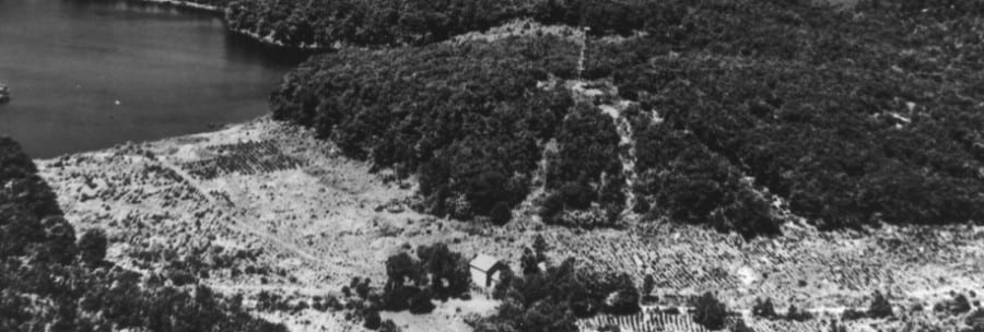
A series of permanent forest plots were established in Black Rock Forest beginning in 1930. Forest scientists and staff have continually measured all of the trees on these plots since that time. Each Long-Term Plot consists of a “Control” and a “Thinned” plot at each location.
Arthur’s Brook Long-Term Plot
Control Plot: metadata, tree data and the original field data.
Thinned Plot: metadata, tree data and the original field data.
Mount Misery Long-Term Plot
Control Plot: metadata, tree data and the original field data.
Thinned Plot: metadata, tree data and the original field data.
White Oak Trail Long-Term Plot
Control Plot: metadata, tree data and the original field data.
Thinned Plot: metadata, tree data and the original field data.

